White Elephant
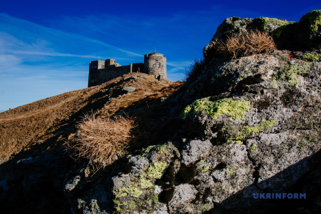
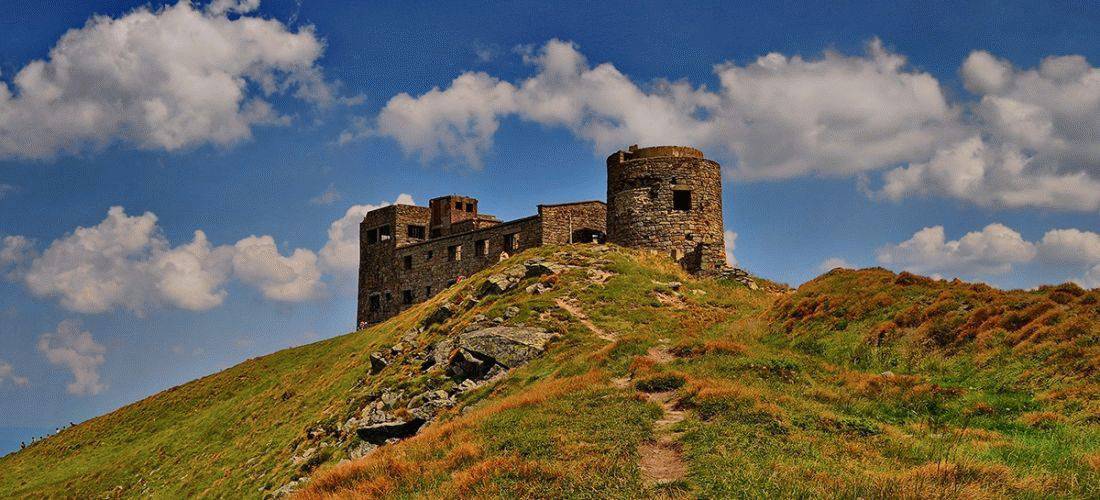
About: White Elephant, Polish Astronomical and
Meteorological Observatory, located at remote area on the peak of
Pip Ivan in the Chornohora range of the Carpathian Mountains,
Ukraine. Currently the structure is used as a mountain shelter
with a small search and rescue team with some rooms adapted for
lodging and recovery.
Height: 2028 m above sea level.
Trail length:
24 km.
Takes time:
11 hours.
Interesting facts:
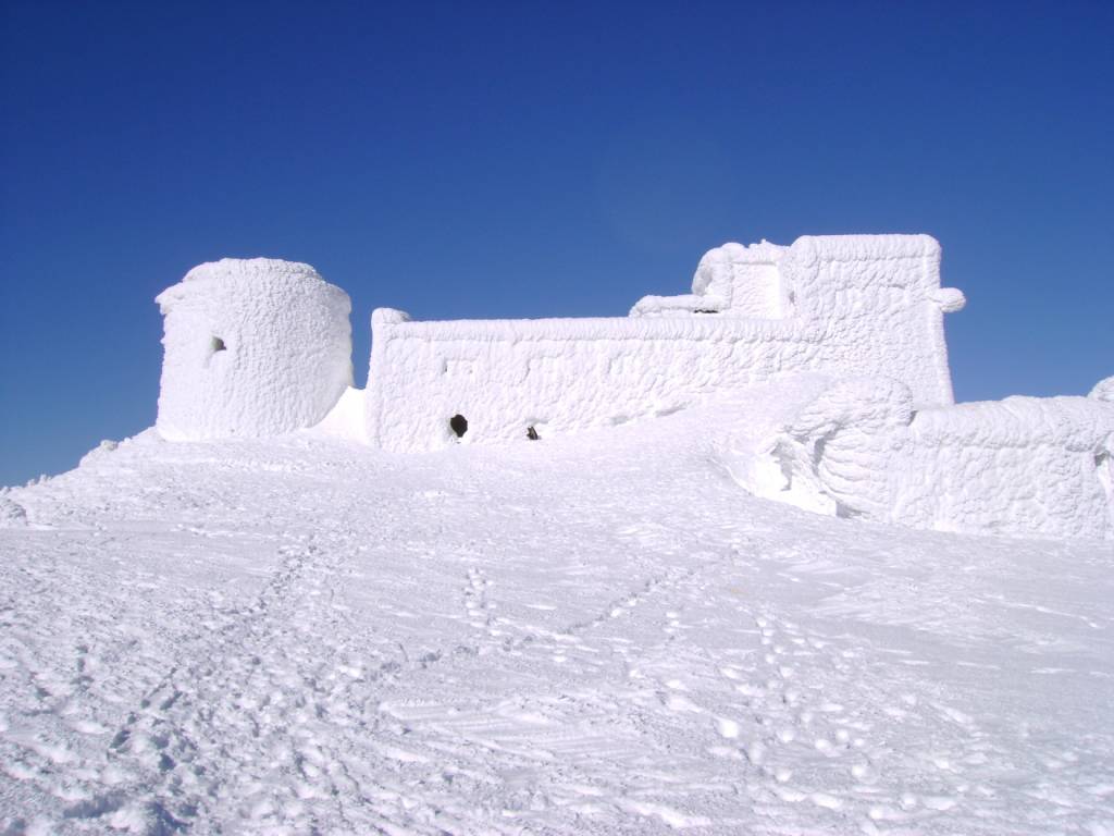
The observatory got the name "White Elephant" due to the fact that
in winter, during complete freezing, it turned into an incredible
ice castle. It is so covered with snow that it really looks like a
big white animal. The observatory is completely built of stone.The
observatory had 5 floors, 43 rooms and 57 windows. This building
seemed like a real majestic and strong fortress, due to the fact
that it had five levels.
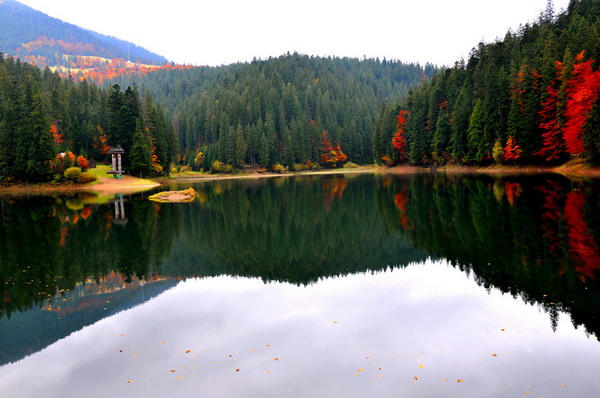
Synevyr
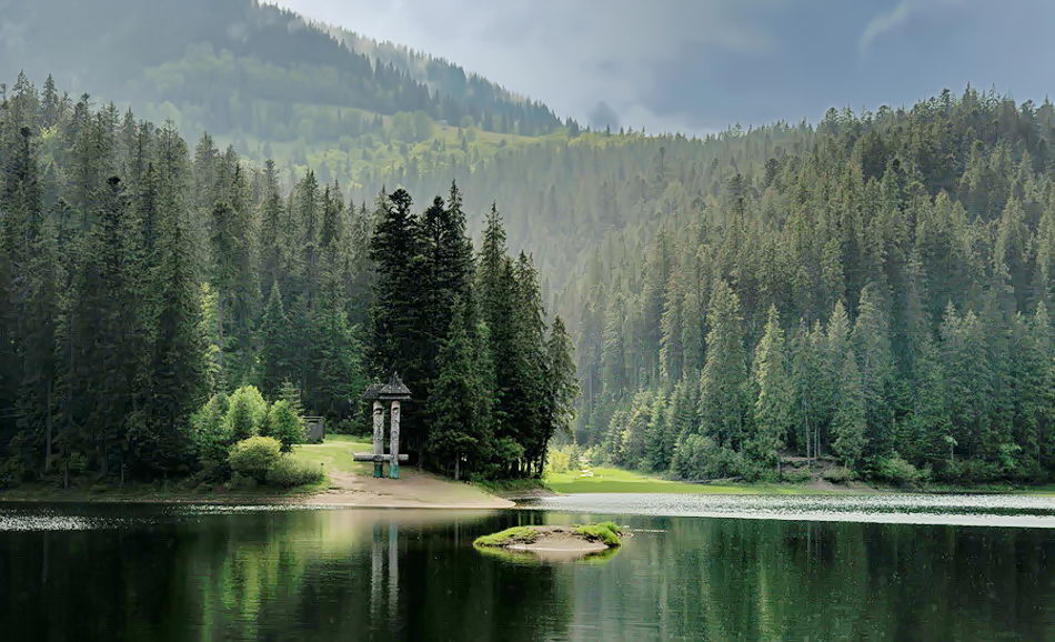
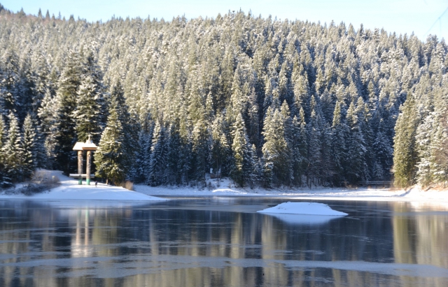
About: Lake Synevyr is the largest lake in the
Carpathian Mountains of Ukraine. It belongs to the region of
Pryvododilni Gorgany and is located at an elevation of 980 meters
above sea level..
Height: 989 m above sea level.
Trail length:
8 km.
Takes time:
7 hours.
Interesting facts:
Lake was formed as a result of a powerful earthquake that caused a
landslide more than 10,000 years ago. Synevyr with an area of 7
hectares and a depth of up to 24 m. Even in the heat, the lake
warms up only on 1-2 m of the surface. Another name of Synevir is
Morske Oko.
Hoverla
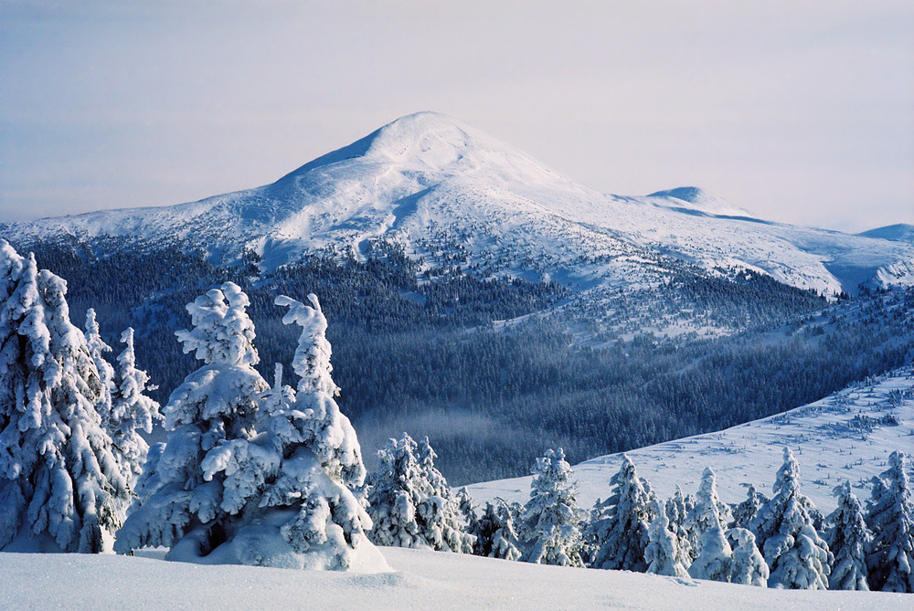
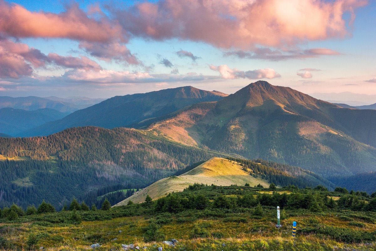
About: Mount Hoverla is the highest mountain in
Ukraine and part of the Ukrainian Carpathians. The mountain is
located in the Eastern Beskids, in the Chornohora region.
Height: 2061 m above sea level.
Trail length:
7.7 km (the one-way route).
Takes time:
the ascent takes 4 - 4.5 hours, the descent - about three hours.
Interesting facts:
On the top of Hoverla, a cross rises and the Ukrainian flag flies.
And there is also a plate in the middle of which there are
capsules with soil brought from all regions of Ukraine.
Pamir
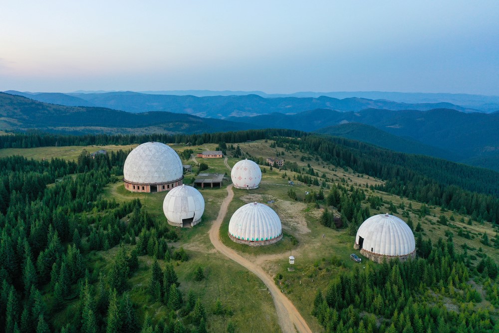
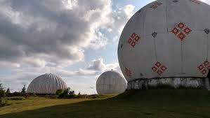
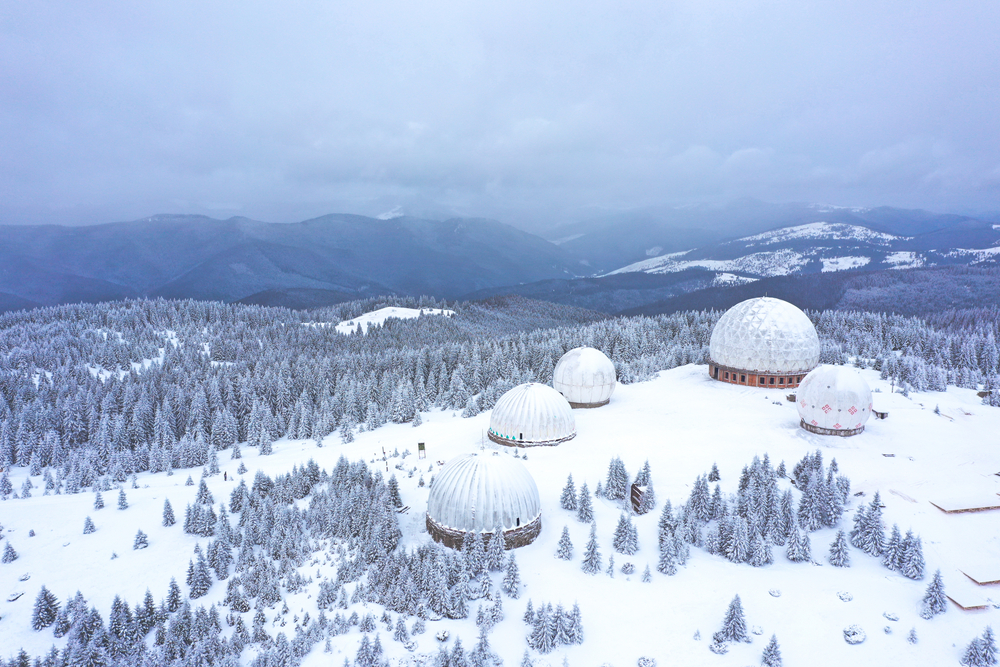
About: "Pamir” is an abandoned radar station.The
former secret object is located on Mount Tomnatik, almost on the
border with Romania. Now it is a very beautiful futuristic place.
Height: 1565.3 м above sea level.
Trail length:
190 km (both ways).
Takes time:
9 hours.
Interesting facts:
The real (official name of the station) "P-40". However, the
military gave her another call sign - "Pamir". The radar station
was built in Bukovina at the height of the Cold War near the
border with Romania. The military says they allegedly saw a UFO on
the territory of the station. Once a searchlight flew onto the
territory of the station. He moved without a sound, so the
equipment did not detect him. Former employees of the station
still do not know what it was.
Spitsy
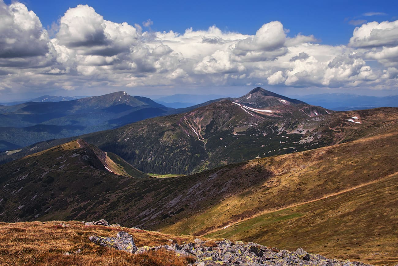
About: Spitsy is one of the peaks of the
Chornohora mountain. Spitsy is one of the most interesting
mountains in the Carpathians. Its eastern slopes are fringed with
rock ledges 20-50 m high, which really resemble spiers (hence the
name of the mountain).
Height: 1863 m above sea level.
Trail length:
13km.
Takes time:
6 hours.
Interesting facts:
Here you can see whole rows of unusual rock ledges - these huge
stone embankments of natural origin resemble spears from afar.
Travelers say that you can see about 15 rows of rocks there. The
Spitsy rocks were formed as a result of ancient mountain
glaciation, which, according to scientists, took place
approximately 2.5 million years ago.
